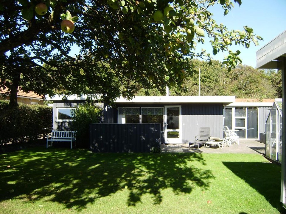
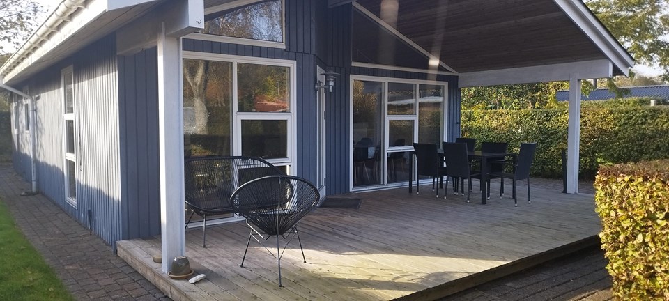
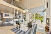
Holiday apartment with fjord view near Øster Assels
Morsø Turistbureau (VisitMors)
- Sillerslev
- approx. 10 m to the water
- 2 bedrooms
- Room for 5 guests
- 80 m²
from 7,088 DKK/weekapprox. €950

Part of Nordjylland · Jylland · Limfjorden
184 holiday homes
Morsø Turistbureau (VisitMors)
from 7,088 DKK/weekapprox. €950
Morsø Turistbureau (VisitMors)
from 3,995 DKK/weekapprox. €535
NOVASOL
from 3,539 DKK/weekapprox. €474
NOVASOL
from 3,687 DKK/weekapprox. €494
Morsø Turistbureau (VisitMors)
from 4,703 DKK/weekapprox. €630
Morsø Turistbureau (VisitMors)
from 2,900 DKK/weekapprox. €389
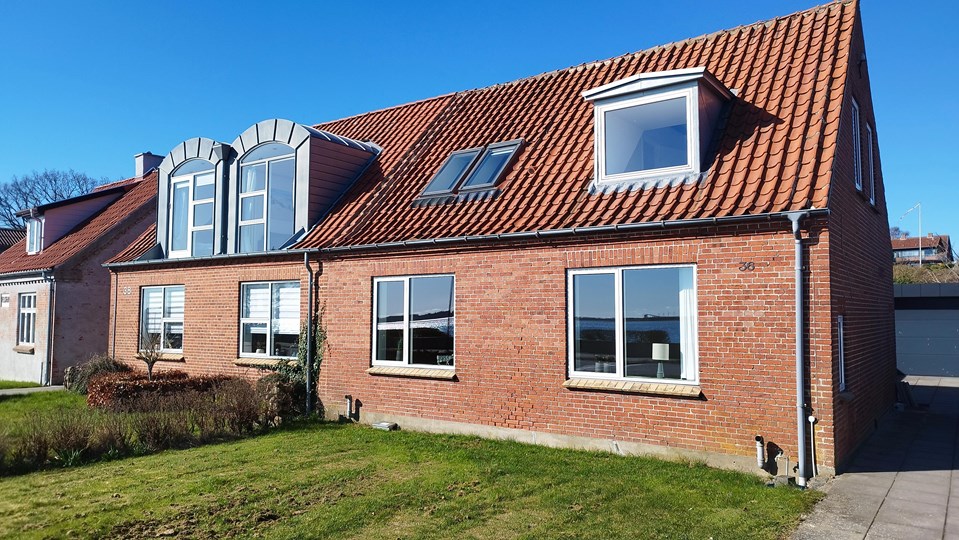 Photos on the agency's site
Highlighted
Nykøbing Mors · Morsø Turistbureau (VisitMors)
approx. 30 mto the water
from 5,295 DKK/weekapprox. €710
Morsø Turistbureau (VisitMors)
from 5,295 DKK/weekapprox. €710
Morsø Turistbureau (VisitMors)
from 3,995 DKK/weekapprox. €535
Morsø Turistbureau (VisitMors)
from 4,700 DKK/weekapprox. €630
Morsø Turistbureau (VisitMors)
from 2,995 DKK/weekapprox. €401
Morsø Turistbureau (VisitMors)
from 5,995 DKK/weekapprox. €803
Morsø Turistbureau (VisitMors)
from 2,895 DKK/weekapprox. €388
DanCenter
from 3,289 DKK/weekapprox. €441
Morsø Turistbureau (VisitMors)
The price has not been stated yet.
Sol og Strand
from 2,921 DKK/weekapprox. €391
DanCenter
from 1,240 DKK/weekapprox. €166
Morsø Turistbureau (VisitMors)
from 2,995 DKK/weekapprox. €401
Morsø Turistbureau (VisitMors)
from 3,995 DKK/weekapprox. €535
Morsø Turistbureau (VisitMors)
from 4,200 DKK/weekapprox. €563
NOVASOL
from 3,533 DKK/weekapprox. €473
DanCenter
from 7,196 DKK/weekapprox. €964
NOVASOL
from 7,331 DKK/weekapprox. €982
Sol og Strand
from 4,438 DKK/weekapprox. €595
Morsø Turistbureau (VisitMors)
from 4,495 DKK/weekapprox. €602
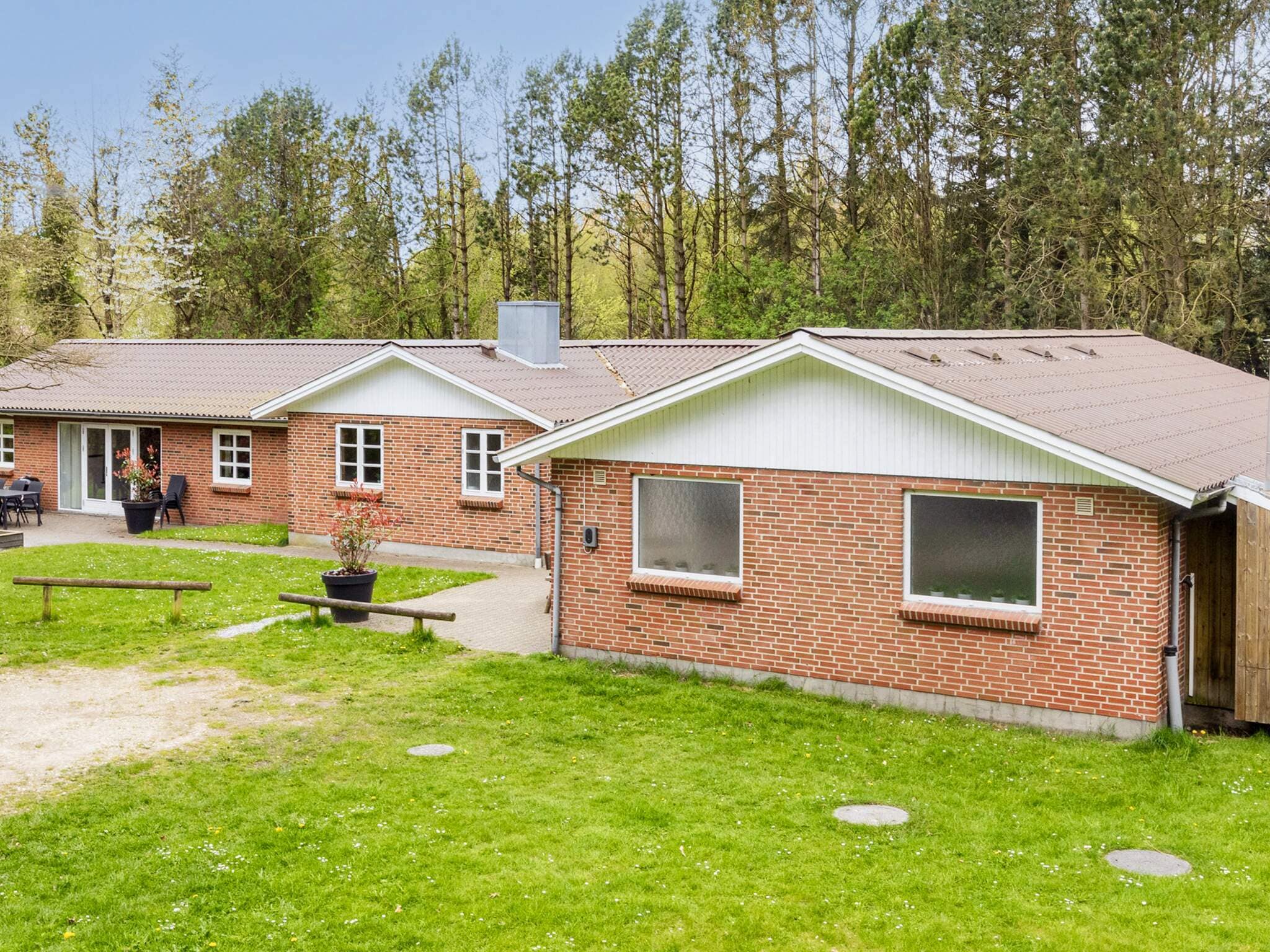 Photos on the agency's site
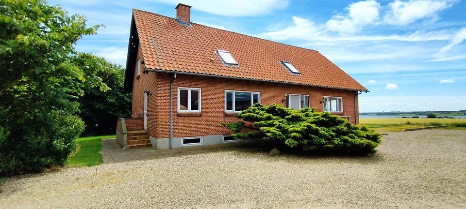 Photos on the agency's site
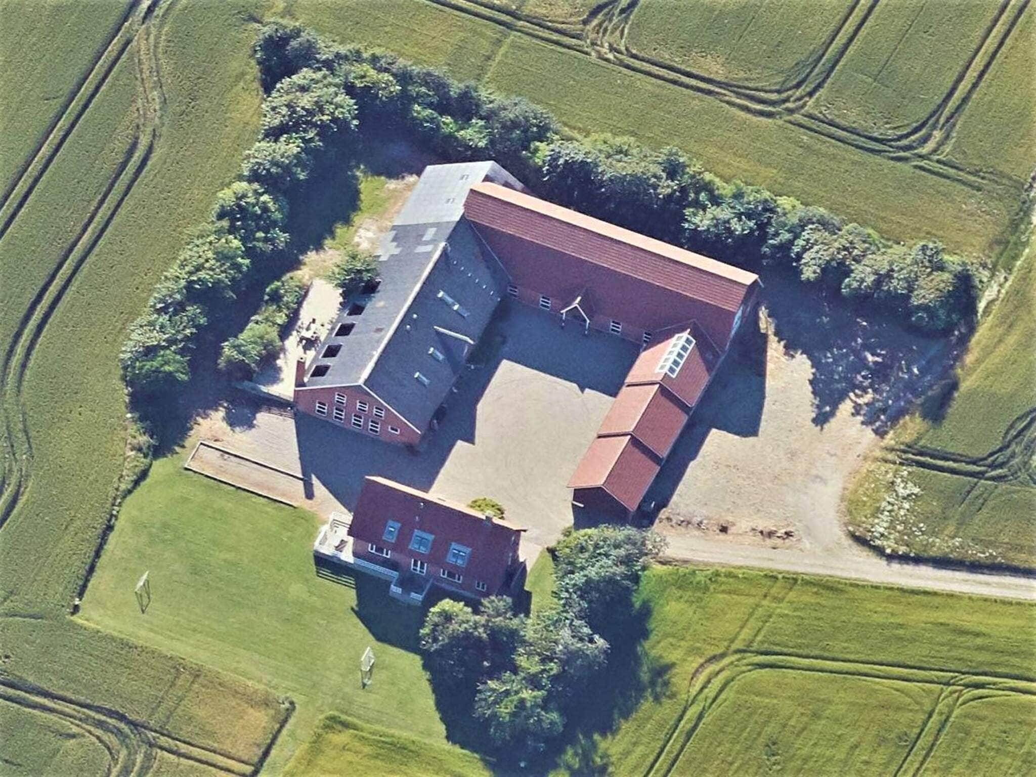 Photos on the agency's site
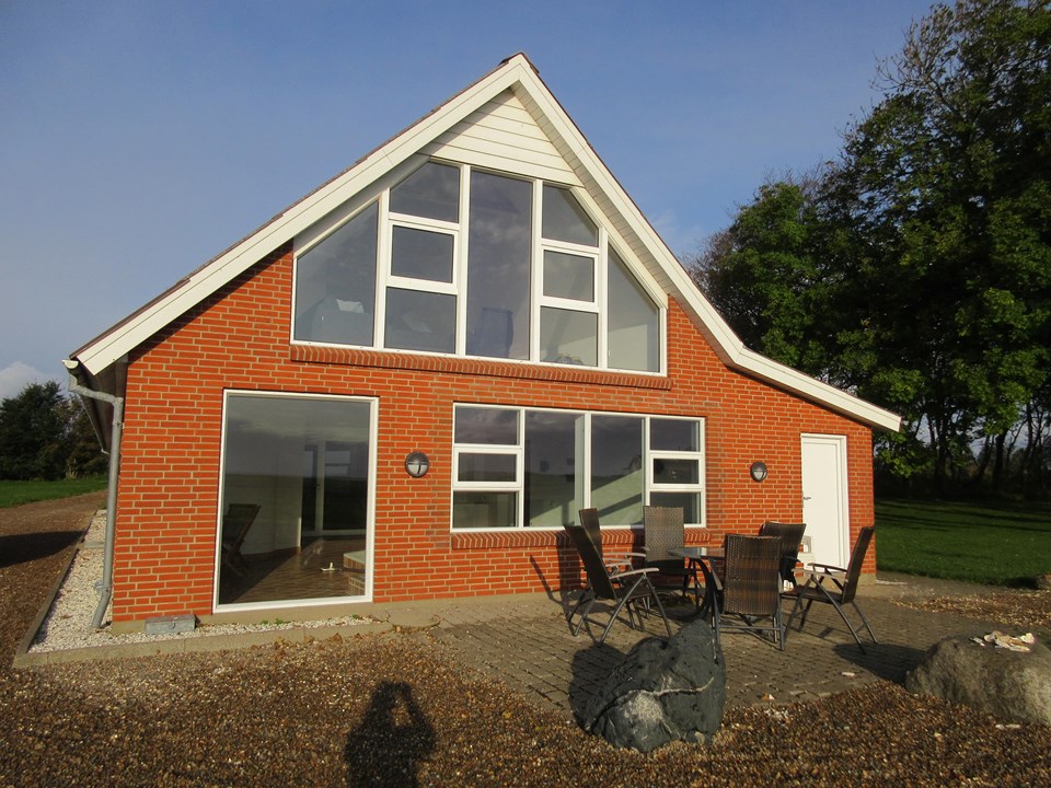 Photos on the agency's site
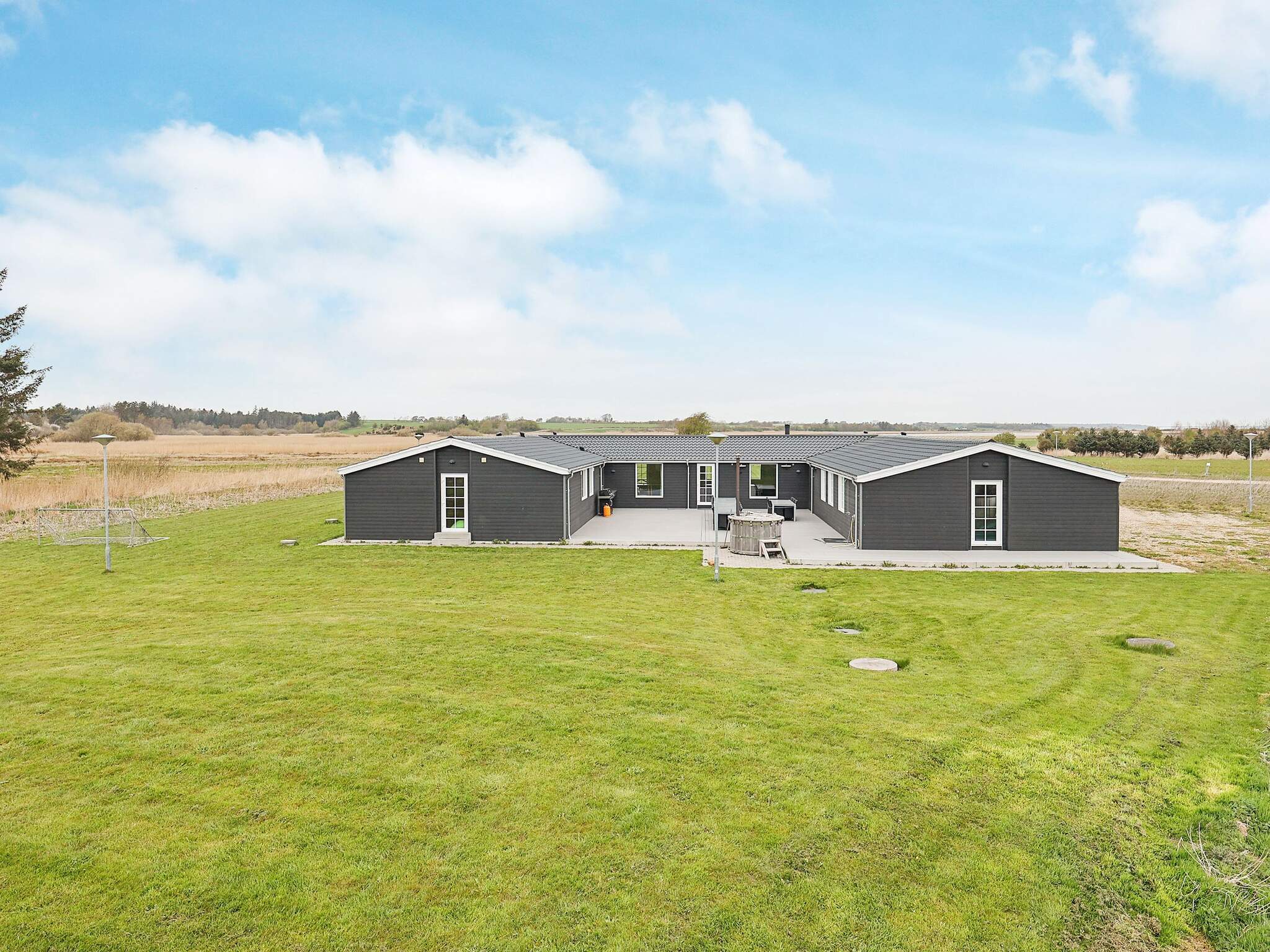 Photos on the agency's site
 Photos on the agency's site
 Photos on the agency's site
 Photos on the agency's site
 Photos on the agency's site
 Photos on the agency's site
 Photos on the agency's site
 Photos on the agency's site
 Photos on the agency's site
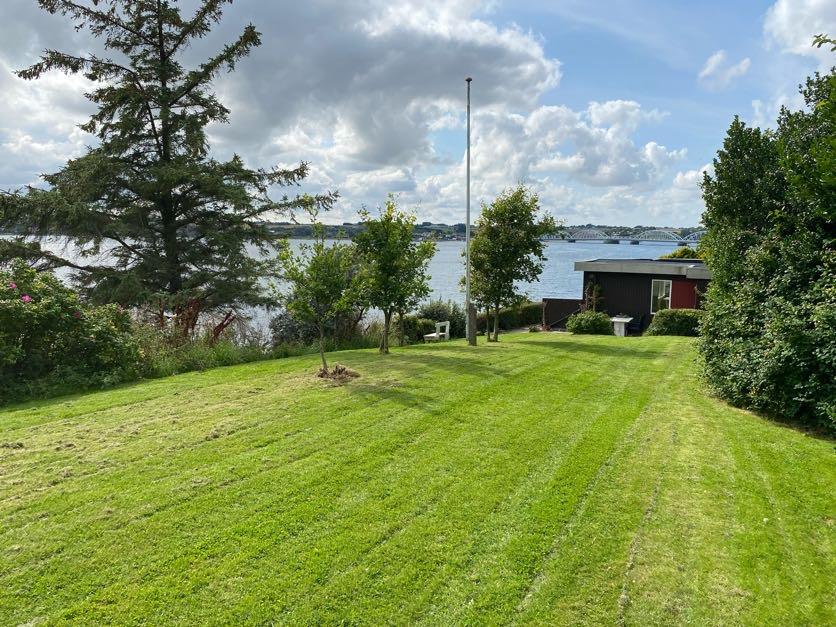 Photos on the agency's site
 Photos on the agency's site
 Photos on the agency's sitePhotos on the agency's site
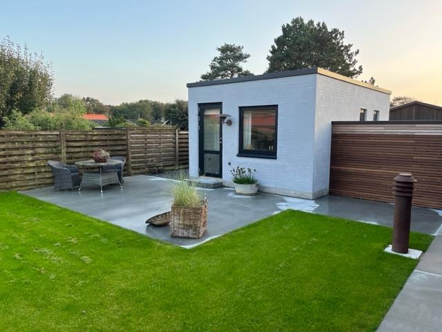 Photos on the agency's site
Mors is the largest island in the Limfjord, with an area of approx. 363 km² and around 19,000 inhabitants. The island is connected to the mainland by the Sallingsundbroen bridge to Salling and the Vilsundbroen bridge to Thy. A car ferry also crosses Feggesund to Thy, and in summer the Næssundfærgen ferry runs between Mors and Thy.
The holiday homes lie along the coast: at Dråby Vig and Skarum on the east side of northern Mors, at Sundby on the north coast, at Feggesund in the far north, at Vils and Øster Jølby in the western part and at Nykøbing Mors. Each house shows the distance to the water and the weekly price from the rental company.
On Mors there is moler (diatomite), a pale clay from the early Tertiary with fossils of plants, insects and fish. It is exposed at Hanklit, Denmark's largest moler cliff, and at Feggeklit in the far north.
The map does not show water depths.
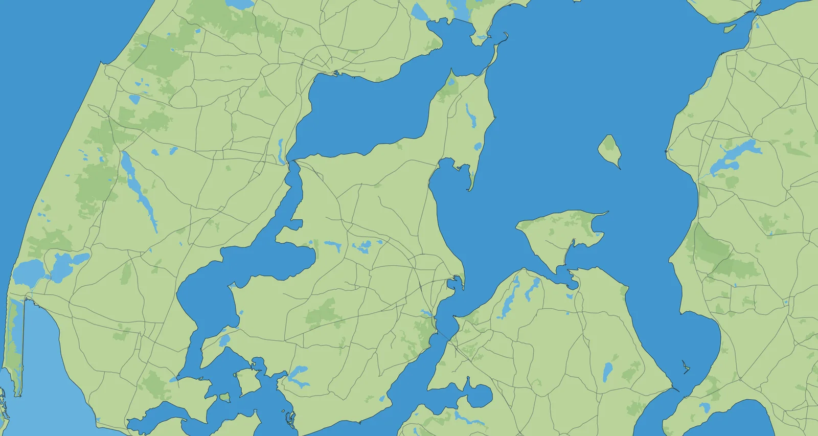
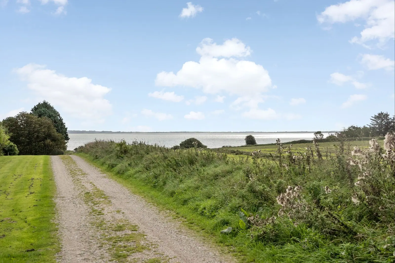
Over Sallingsundbroen from Salling or over Vilsundbroen from Thy. There is no bridge at Feggesund: a car ferry crosses to Thy in approx. 5 minutes. Næssundfærgen is a summer ferry between Mors and Thy, and the crossing takes approx. 8 minutes.
Morsø Municipality (Morsø Kommune) names three Blue Flag beaches: Østerstrand near Nykøbing Mors, Sundby Strand and Sillerslev Strand. See our guide to beaches and bathing jetties for a short description of each.
Moler is a pale clay made of diatoms, which was deposited more than 50 million years ago. It contains fossils and layers of volcanic ash and can be seen in the cliffs at Hanklit and Feggeklit.